
What happened here


 1 / 3
A magnitude 7.7 earthquake struck off the north coast of Flores island in East Nusa Tenggara, Indonesia, at 5.58 am local time on Saturday 15 August 2026, about 68 km north-northwest of Ende at a depth of 10 km. A tsunami warning was issued and later lifted. The count of dead rose from 20 on the first day to 111 by 28 August and 151 by late September, with Arab News giving at least 156 in November and more than 1,600 injured. Nearly 28,000 people were still displaced in late September. The reports differ on the final toll, the homes damaged and the number displaced.
Quick answers
What happened on Flores?
A magnitude 7.7 earthquake struck off the north coast of Flores island in East Nusa Tenggara, Indonesia, at 5.58 am on Saturday 15 August 2026.
How many people died?
At least 151 by late September according to the government (AFP). Arab News gives at least 156 in November. Early reports said 20, 47, 54, 68, 71 and 111.
How many were hurt?
More than 1,600, according to Arab News. Early reports gave six and then more than 100.
Was there a tsunami?
A tsunami warning was issued and later lifted. In Nagekeo, people saw the sea retreat and moved to higher ground.
How many homes were damaged?
Counts range from about 78,000 in August to more than 46,000 in late September and more than 119,000 in November, from different dates and definitions.
Was there another quake that day?
A separate magnitude 6.9 quake struck western Sumatra later on 15 August; it was 172.5 km deep and caused no casualties or damage.
Why is this page written in November?
It is a later write-up published on 14 November 2026. The sources are dated from 14 August to 11 November.
What should I do in an earthquake near the coast?
Drop, cover and hold on; if the shaking is strong or long, move uphill or inland at once and do not wait for a warning.
What happened
The Flores earthquake struck at 5.58 am local time on Saturday 15 August 2026 (21.58 GMT on Friday), off the north coast of Flores island in East Nusa Tenggara, Indonesia. The United States Geological Survey put the magnitude at 7.7, the epicentre about 68 km north-northwest of the city of Ende and the depth at 10 km. Houses, ports and health facilities were damaged, landslides cut roads, and a tsunami warning was issued and later lifted. The government count rose from 20 on the first day to 111 by 28 August and 151 by late September, and Arab News reported at least 156 dead and more than 1,600 injured in November. The figures differ by outlet and date.
This page is a later write-up, published on 14 November 2026, three months after the quake. The sources we opened are dated 14 August to 11 November 2026. The hardest-hit areas in the government’s regency figures were Manggarai, East Manggarai and Nagekeo, and in late September nearly 28,000 people were still displaced, many living in tents.
This page names no one. It sets out what is reported, where the reports differ and what the earthquake teaches about shaking, coasts and aftershocks.
What the reports say
- When: 5.58 am local time on Saturday 15 August 2026, which is 21.58 GMT on Friday 14 August (USGS, quoted by Al Jazeera and the Associated Press)
- Where: Off the north coast of Flores island, East Nusa Tenggara, about 68 km north-northwest of Ende, at a depth of 10 km (USGS, quoted by Al Jazeera and the Associated Press)
- Magnitude: 7.7 (USGS; Al Jazeera, AFP, DW); the strongest aftershock was magnitude 6.2 (Al Jazeera, ANTARA)
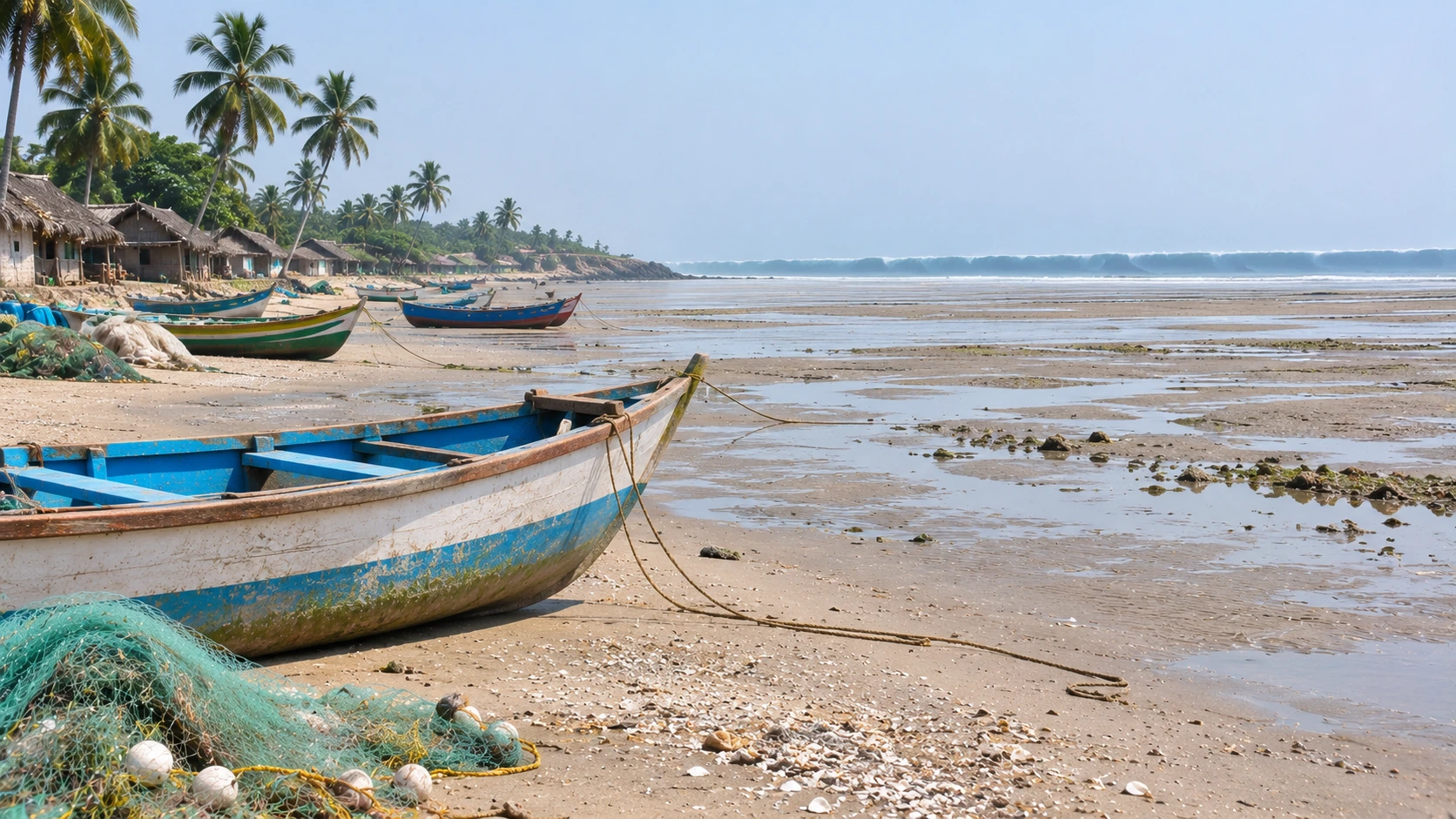
- Tsunami: A tsunami warning was issued for parts of East Nusa Tenggara, West Nusa Tenggara and Sulawesi and later lifted; in Nagekeo people saw the sea retreat and ran uphill (Associated Press; AFP)
- Deaths: The count rose from 20 on the first day to 47, 54, 68, 71 and 111 (the disaster agency, 28 August); the government gave 151 in late September (AFP, via The Straits Times and The Jakarta Post) and Arab News gave at least 156 in November
- Where the dead were: Of 111 deaths on 28 August, Manggarai had 45, East Manggarai 38 and Nagekeo 13; 56.4 percent of the dead were women and elderly people were the largest age group at 45 percent (the disaster agency, via ANTARA)
- Injured: About six on the first day, more than 100 by 17 August (DW) and more than 1,600 in November (Arab News)
- Homes: At least 157 destroyed and nearly 200 damaged on the first day (the disaster agency, via Al Jazeera); more than 46,000 damaged by late September (AFP); more than 119,000 damaged in November (Arab News)
- Displaced: About 2,000 in Nagekeo on the first day; 12,800 on 17 August (DW); 175,909 evacuees in the province on 28 August (ANTARA); nearly 28,000 still displaced on 24 September (AFP)
- Aftershocks: 8,794 by 28 August (the weather and geophysics agency, via ANTARA) and roughly 15,000 by late September (AFP)
- Response: The Air Force carried 13 tonnes of relief on two Hercules aircraft and one Boeing (DW); helicopters and a rescue vessel supported logistics (Al Jazeera); the government plans more than 2,700 temporary and permanent homes (The Straits Times); Saudi and Indonesian aid agencies are sending food parcels and health kits (Arab News)
- Identities: Reports name the dead, rescuers and officials; we name no one
Where reports differ and what we do not know
- The final toll: The first reports said 20, then 38, 40, 47, 53, 54, 57 and 68. The disaster agency gave 111 on 28 August, AFP quoted the government for 151 on 28 September, and Arab News gives at least 156 in November. We say at least 151 and show 156 as the highest figure we found.
- The magnitude: The USGS, Al Jazeera, DW and AFP say 7.7. An ABC News Australia video description says 7.8. We say 7.7.
- The homes damaged: An ANTARA headline in late August gives nearly 78,000 damaged homes from the disaster agency, AFP quotes more than 46,000 in late September, and Arab News gives more than 119,000 in November. The counts come from different dates and definitions; we show all three.
- The displaced: Sources give 12,800, 175,909 (all evacuees in the province) and nearly 28,000 (still displaced) at different dates. These count different groups, so they do not conflict.
- The 1992 quake: DW says a 1992 magnitude 7.7 earthquake and tsunami on Flores killed about 2,500 people; the Associated Press calls it a magnitude 7 quake. We say about 2,500 died in 1992.
- The second quake: France 24 headlines a second powerful earthquake the same day. Al Jazeera, citing the USGS, says it was a magnitude 6.9 quake in western Sumatra, far from Flores and 172.5 km deep, with no casualties or damage. It is a separate event.
What this earthquake teaches
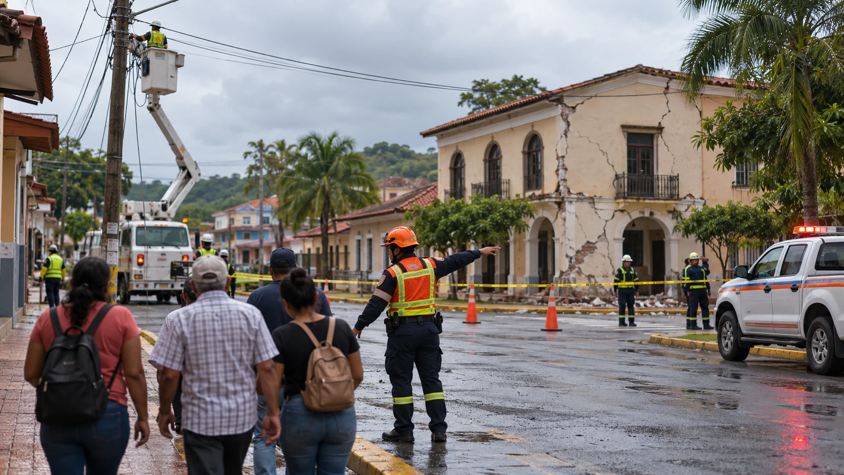
A shallow quake close to a coast gives little warning. The reports say the shaking came at dawn, when many people were at home, that houses and public buildings collapsed, and that landslides blocked roads to the worst-hit areas, which slowed rescue. In Nagekeo, people who saw the sea draw back moved uphill without waiting for an official message, and the tsunami warning was later lifted. The government counted thousands of aftershocks and plans temporary housing. These are reports and official figures, not findings of fault.
We have covered similar events, among them the Panama M7.7 earthquake, the Tibet earthquake at Nagqu and the Shizuoka M5.7 earthquake in Japan. Our guide to earthquake safety before, during and after shaking sets out what to do. For coasts, our guide to tsunami warning signs and what to do explains the signals. For a wider view, our earthquake vulnerability map of India explains seismic zones.
We do not know the final toll, how many homes are counted as damaged, or when the displaced will return. The agencies update these figures. We will update this page when a corrected toll is published.
- A magnitude 7.7 earthquake strikes off the north coast of Flores; people flee to higher ground and a tsunami warning is issued (USGS; Associated Press)
- Rescuers report 20 dead in four towns; landslides cut roads; more than 230 aftershocks follow and the strongest is magnitude 6.2 (AFP; Al Jazeera)
- A separate magnitude 6.9 quake, 172.5 km deep, hits western Sumatra with no casualties; the Flores toll reaches 47 (Al Jazeera; France 24)
- At least 54 are dead, more than 100 hurt and 12,800 cannot return home (DW)
- The count reaches 71 (Jakarta Globe, headline)
- The disaster agency says the toll is 111 and 8,794 aftershocks are recorded (ANTARA)
- The government says 151 died and 46,000 homes are damaged; nearly 28,000 are displaced (The Straits Times; The Jakarta Post)
- Arab News reports at least 156 dead, more than 1,600 injured and aid reaching 150,000 survivors
Why consequences escalated
- A magnitude 7.7 earthquake struck off Flores, Indonesia, at 5.58 am on 15 August 2026.
- The government count reached 151 dead by late September; Arab News reported at least 156 in November.
- More than 1,600 were injured, and nearly 28,000 people were still displaced in late September.
- A tsunami warning was issued and lifted; landslides cut roads and slowed rescue.
- The reports differ on the final toll, the homes damaged and the number displaced.
Failures and risk multipliers
- No official final count was found. The reports leave these questions open:
- The final number of dead, missing and injured.
- How many homes count as damaged and by what definition.
- How many people are still in tents and when they will return.
- Why so many buildings failed in the shaking.
- These are open questions, not findings of fault.
Actions that reduce risk
- Residents: practise drop, cover and hold on, and know your high ground; after strong shaking near the sea, move uphill without waiting for an official message.
- Builders and owners: follow the building code, because collapsing walls caused many of the deaths in earlier quakes.
- Authorities: publish final counts and the housing plan, and keep roads and water open for the displaced.
- Everyone: do not go back into damaged buildings during aftershocks.




Leave a comment