
Quick answers
What happened at Mount Dukono on 8 May 2026?
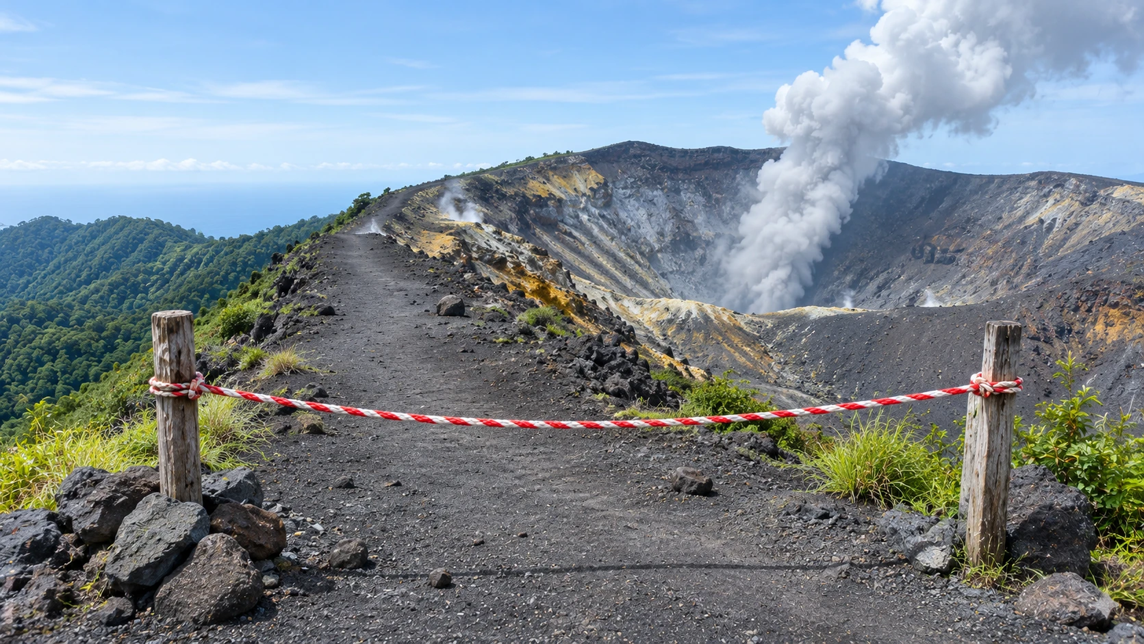
The volcano on Halmahera island erupted at about 7.41 am local time with an ash column about 10 km high. Three hikers died and 17 others were brought down alive. Reports say the group was inside a 4 km no-go zone and that the mountain had been closed to climbers since 17 April.
What is Dukono's alert level?
PVMBG, Indonesia's geology agency, said on 8 May 2026 that Dukono was still at Level II (Waspada). Some foreign reports called this the second-highest level, which is not correct for Indonesia's four-level scale as PVMBG described it.
If a volcano is only at Level II, is it safe to go near the crater?
No. Dukono was at Level II and the agency still told people to stay out of a 4 km radius. Closures and exclusion zones count as much as the level.
Where do I check a volcano's status in Indonesia?
PVMBG publishes status and recommendations on its MAGMA Indonesia website and app. Also ask whether local authorities have closed the route, because closures can be stricter than the level.
What kills people near a crater?
Reviewing the evidence on tourists, a research paper says flying rock fragments called ballistic projectiles are globally the most common cause of volcanic deaths for tourists. They can travel up to about 10 km, although usually within 5 km, and wind does not steer them.
Does a mask protect me from volcanic gas?
No. IVHHN says masks that filter particles help with ash but are not effective against gases. If you smell struck matches or rotten eggs, move upwind and away.
Which mask is best for ash?
IVHHN says a well-fitting, certified N95 (also called P2, FFP2 or DS2) mask is the most effective for adults. Cloth is less effective, and wetting it does not help.
What are the emergency numbers in Indonesia?
Indonesia's tourism site lists police 110 or 112, ambulance 118 or 119, fire 113, search and rescue 115 and natural disaster assistance 129. Dial +62 first when calling from abroad.
Who is responsible if a guide takes a group into a closed zone?
Indonesian police named a trip operator and guide as a suspect for negligence causing death after the Dukono deaths. A suspect is not a convicted person, and the case had not been decided in the reports we read.
On the morning of 8 May 2026, Mount Dukono on Halmahera island in Indonesia erupted while about 20 hikers were on its slopes. Three died. The mountain had been closed to climbers for three weeks, and the official no-go zone was 4 km around the crater. This page is for anyone who plans to stand near a crater, in Indonesia or anywhere else: what the reports say happened, why an alert level is not the whole story, a checklist for before you book and on the trail, and what to do if an eruption starts. Checked 5 November 2026.
In short
- A closed mountain is closed. Reports say local authorities shut Dukono to climbing on 17 April 2026 and that the group was inside the 4 km zone the geology agency advised everyone to avoid.
- A low alert level is not a safe level. Dukono was at Level II (Waspada) of four, and it still killed three people.
- Flying rock does not follow the wind. It is the main killer of visitors near craters, and warning time is not something to count on.
- Your guide is not the authority. Check the volcano agency’s status and any closure notice yourself, before you pay.
- In Indonesia, dial 112 for general emergencies and 115 for search and rescue.
What the reports say happened at Dukono
The eruption began at about 7.41 am local time on Friday, 8 May 2026, and sent an ash column roughly 10 km high (NBC News, the Jakarta Post, Kompas TV). About 20 climbers had gone up. Three died, two foreign nationals and one Indonesian, and 17 others were brought down alive (Jakarta Post, Detik, Down To Earth). Repeated eruptions delayed recovery of the bodies, and the search was closed once all three were found, on 10 May.
Police said climbing was banned and the group went up regardless, and the North Halmahera police chief said many people still climb to make online content (NBC News). On 20 May, police named the trip operator and guide as a suspect for negligence causing death, under Article 474 of the Criminal Code, which carries up to five years in prison (CNA Indonesia, Jawa Pos). A suspect is not a convicted person, and we have named nobody.
Why a Level II mountain can still kill
Indonesia rates each volcano on four levels: I Normal, II Waspada (alert), III Siaga (standby) and IV Awas (danger). Some foreign reports called Dukono’s level the second-highest. The geology agency, PVMBG, said Level II, as reported by Kompas, so we use that. It also said eruptions could happen at any time, and it asked everyone to stay out of a 4 km radius, a rule in force since 11 December 2024 (before that, 3 km).
At a volcano that erupts day after day, “it is only Level II” does not mean “it is safe at the rim”. Near a vent the danger is an explosion you cannot time.
- Flying rock. A research paper on tourists at Yasur volcano, Vanuatu, says ballistic projectiles are globally the most common cause of volcanic deaths among tourists. They range from a few centimetres to tens of metres across, travel at tens to hundreds of metres per second, and can land up to about 10 km from the vent, though usually within 5 km (Fitzgerald and others, Volcanica 3(2)).
- Wind does not help. An ITB volcanologist quoted by Antara said wind only changes how much ash you get. Volcanic bombs are not affected by it, and there is no time to escape once one comes.
- Ash and gas. Ash irritates lungs and eyes. Gases are invisible, and the International Volcanic Health Hazard Network (IVHHN) says sulphur dioxide smells like a struck match and that dust masks do not stop gases.
Before you book
- Find the official status yourself. In Indonesia, PVMBG publishes status and recommendations on its MAGMA Indonesia website and app. Note the level, the exclusion radius and the update date.
- Look for a closure notice. Local governments can close a mountain even when the level is low, as at Dukono. Ask the operator in writing: “Is this route open and permitted today?”
- Ask where the group will stand. If it is closer than the official radius, do not go. A good guide says no to a closer view.
- Be wary of cheap trips sold on social media. A tour that promises a rim photo is selling the part that kills.
- Read your travel insurance exclusions. Many policies exclude adventure activities, and some exclude going against an official warning. This is our advice; we did not check any policy.
- Tell someone your plan and keep a local SIM or eSIM working. The Consulate General of India in Bali advised, in a March 2026 advisory reported by Business Today, not to hike alone, to hire licensed guides where mandatory, to keep a local mobile connection and to hold medical insurance. It warned that mountain rescue can take considerable time.
On the trail and at the crater edge
- Stop at the official line, even if others walk past it.
- Carry a mask, a head torch and a first-aid kit, and know the way down.
- Do not linger near a vent. Each extra minute is more explosions.
- Put the phone away at the edge. This is our advice, not an official rule: a person filming is not watching the mountain.
If an eruption starts
The aim is the same everywhere: get out of the danger zone and away from the ash. We could not open the USGS pages, so these steps combine what we could read (IVHHN, the Volcanica paper, PVMBG statements) with plain common sense.
- Move away from the crater at once, down and out of the exclusion zone the way you came. Do not wait to see how big it gets, and do not stop to film.
- Protect your head. A helmet or a daypack held overhead is better than nothing. If solid cover is close, use it, but keep moving away when you can. This is our advice.
- Cover nose and mouth. IVHHN says a well-fitting, certified N95 (also called P2, FFP2 or DS2) mask is the most effective for adults. Cloth filters less, and wetting it does not help. Protect your eyes.
- If you smell struck matches or rotten eggs, move upwind and away. A dust mask does not stop gas.
- Count heads once you are clear. Do not go back up for a missing person. Call for help instead.
- Call 112 or 115 from the first spot with signal. Give the mountain, your group size and where you last saw anyone.
- Later, shelter from ash indoors. Close doors and windows, leave ashy clothes outside, and do not vacuum ash indoors (IVHHN). Rain on loose ash can send mud flows down river channels, which PVMBG listed as a secondary hazard at Dukono in the rainy season.
What groups and guides should do
- Operators: check status and closures on the morning of every trip, and cancel when the route is closed.
- Guides: carry a working phone or radio, a group list, masks and helmets, and brief clients on the first minute of an eruption.
- Clients: you are allowed to say no. Walk away from a tour that will not show you the closure position.
Emergency numbers in Indonesia
The Indonesian tourism ministry’s site lists police 110 or 112, ambulance 118 or 119, fire 113, search and rescue (Basarnas) 115, and natural disaster assistance 129. From abroad, dial +62 first. The Indian embassy in Jakarta and the consulate in Bali publish their own contacts. We could not open the embassy’s page, so copy the number from the official website before you travel, not from a travel blog.
Closer to home
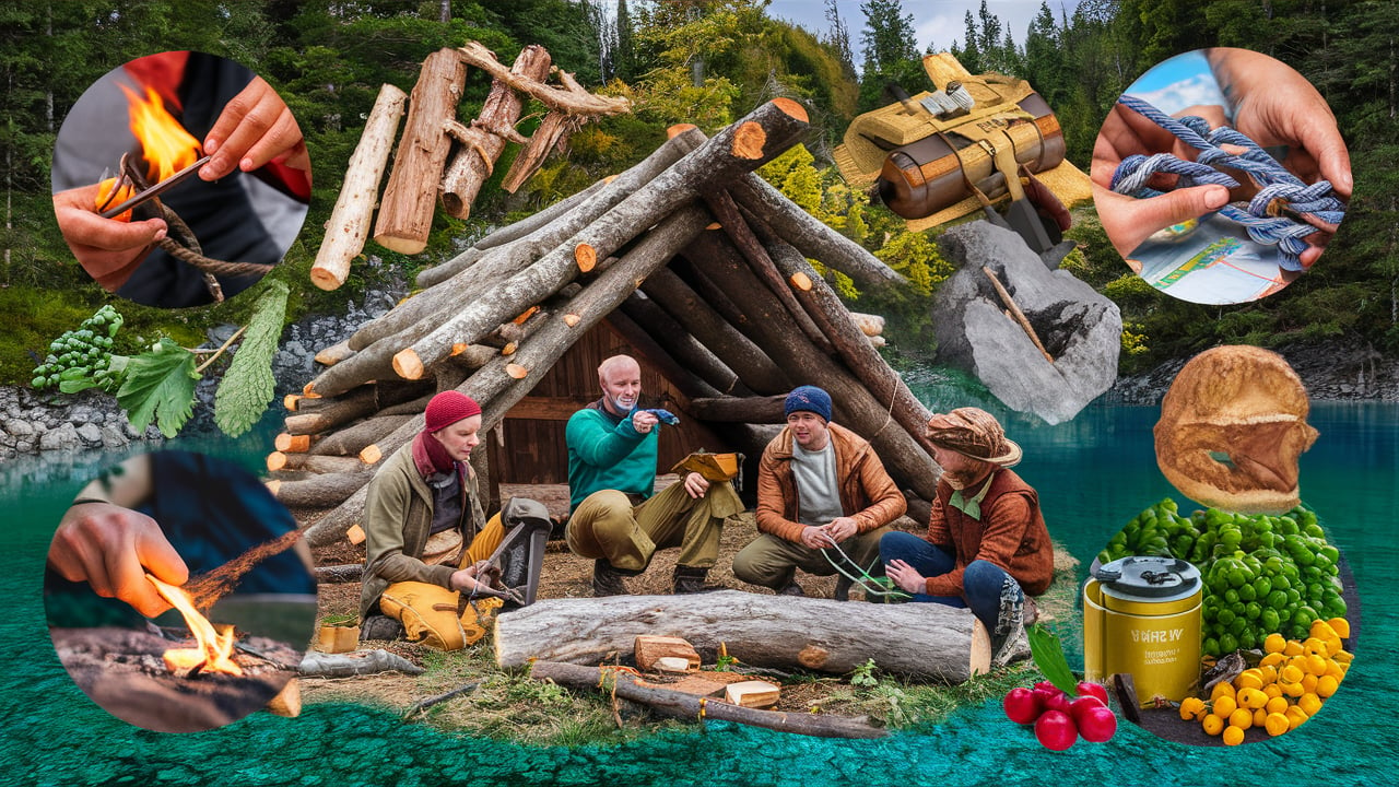
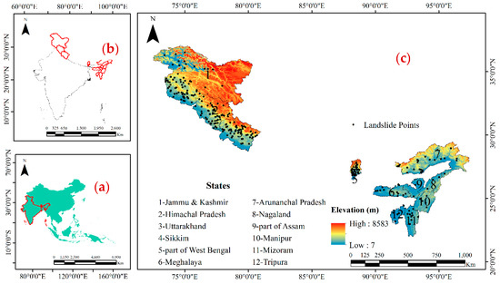
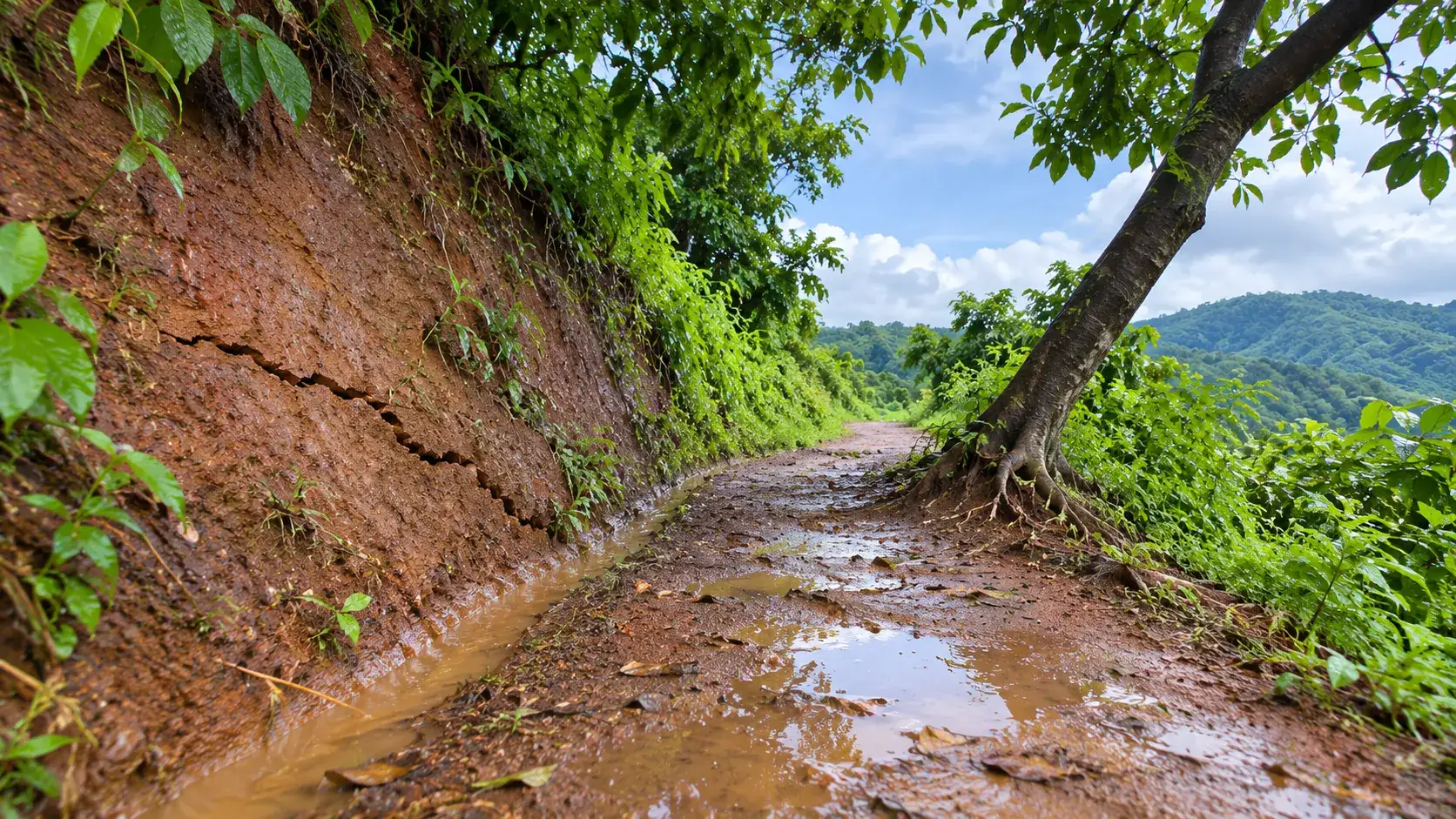
The same habits help on any trek or high-risk viewpoint in India. Our guides on outdoor survival skills for trekking and camping in India, natural disaster preparedness in India and landslide warning signs in hill hamlets cover planning, warning signs and the first-minute decisions.
What we could not confirm
Early reports differ on the alert level (some say second-highest, an expert quoted by Antara says Level 3), so we use PVMBG’s own statement, and on how many were missing in the first hours, so we use the final tally of three deaths and 17 survivors. A second person described as a content creator was reported as a suspect by one outlet only, so we left that out. The court case has not been decided. We could not open the USGS, Smithsonian or Ready.gov pages, and the MAGMA site is an app we could not read in full, so the safety steps rest on IVHHN, one peer-reviewed paper and PVMBG statements as quoted in the press. We did not confirm the Indian embassy’s emergency number, and we could not confirm the rules for visiting Barren Island in the Andamans from an official notice; ask the Andaman and Nicobar administration. We found no verified official video to embed. This page is general information, not medical or legal advice.
What needs attention
- Dukono was at Level II and still killed three people; the 4 km zone and the closure were the real limits.
- Ballistic projectiles are globally the most common cause of volcanic deaths among tourists, and wind does not steer them.
- A certified N95 mask helps against ash, but no mask in the reports helps against volcanic gas.
- Check the official status and closure notice yourself; a guide's word is not an official notice.
- Police named the trip operator as a suspect for negligence causing death; the case has not been decided.
Controls that reduce risk
- Check the volcano agency's status, exclusion radius and any closure notice before booking.
- Ask the operator in writing whether the route is open and permitted today.
- Read the exclusions on your travel insurance before you pay.
- Save local emergency numbers and the Indian embassy or consulate contacts before you leave.
- If an eruption starts, move away from the vent at once, protect head, nose and mouth, and call for help.
Common unsafe practices
- Entering a closed or restricted zone because the volcano looks calm.
- Treating a low alert level as permission to go close to the crater.
- Believing the guide or operator over the volcano agency's notice.
- Filming at the crater edge while an eruption is under way.
- Wearing a dust mask and thinking it stops volcanic gas.
- Booking a cheap social-media trip that promises a rim photo.

Leave a comment