
Quick answers
Which Indian states are most flood-prone?
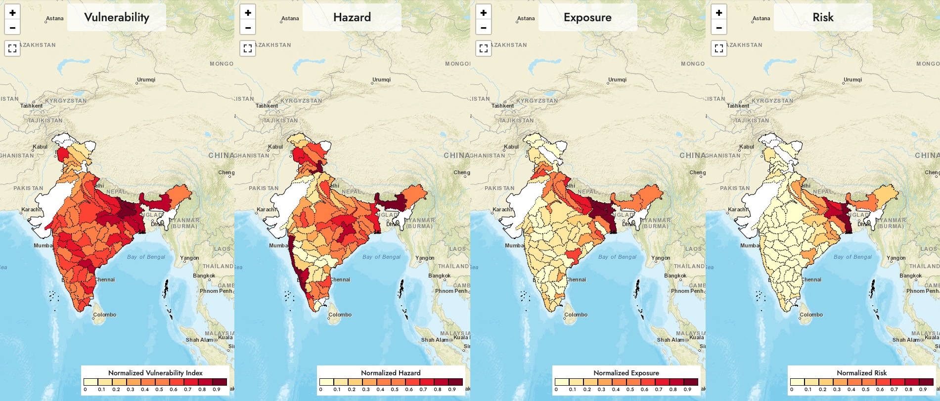
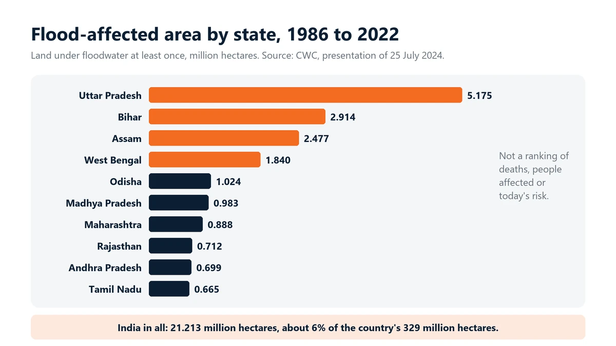
By flooded area, the Central Water Commission's satellite study for 1986 to 2022 puts Uttar Pradesh first at 5.175 million hectares, followed by Bihar, Assam and West Bengal. This measures land that went under water at least once, not deaths or today's risk, so other measures can give a different order.
Why do flood rankings change?
Rainfall, river flow, embankments, drainage, land use, new construction, how well data is reported and which years are counted can all change the order. Always check what a ranking measures and for which period.
If my area has not flooded before, am I safe?
No. Very heavy local rain, choked drains, dam releases, conditions on the coast and new construction can flood places that have never flooded before. Follow IMD and CWC warnings for your area.
What should a family prepare before the monsoon?
Know your way to higher ground, keep documents and medicines in waterproof bags, store drinking water, keep a torch and a charged power bank ready, and never plan to drive through moving floodwater.
Floods come back every monsoon, and they do not hit every state equally. A Central Water Commission (CWC) study of satellite images found that 21.213 million hectares of India were flooded at least once between 1986 and 2022. That is about 6% of the country’s 329 million hectares. Uttar Pradesh, Bihar, Assam and West Bengal had the largest flood-affected areas.
Rain is natural. How badly a place floods depends a lot on us: what we build, where we build it and how well we look after our drains and rivers.
Why some states flood again and again
- Big rivers like the Ganga, Brahmaputra and their tributaries overflow, and embankments are not kept up.
- City drains choke on plastic and silt.
- Forests in the catchment are cut, and encroachments block natural water paths.
The same districts go under year after year, while the rest of the country reads the headlines and moves on.
Top 10 states by flood-affected area (CWC, 1986 to 2022)
| Rank | State | Area flooded at least once, 1986 to 2022 (million hectares) |
|---|---|---|
| 1 | Uttar Pradesh | 5.175 |
| 2 | Bihar | 2.914 |
| 3 | Assam | 2.477 |
| 4 | West Bengal | 1.840 |
| 5 | Odisha | 1.024 |
| 6 | Madhya Pradesh | 0.983 |
| 7 | Maharashtra | 0.888 |
| 8 | Rajasthan | 0.712 |
| 9 | Andhra Pradesh | 0.699 |
| 10 | Tamil Nadu | 0.665 |
Source: Central Water Commission, Assessment of Area Affected due to Floods in India, 1986 to 2022 (presentation dated 25 July 2024). This counts land that was under floodwater at least once in 37 years of satellite images. It is not a ranking of deaths, people affected or today’s risk. A state with a smaller area, like Kerala or Uttarakhand, can still have deadly floods.
What else the data tells us
- Total flood-affected area, 1986 to 2022: 21.213 million hectares, about 6% of India (CWC).
- Largest areas: Uttar Pradesh 5.175, Bihar 2.914, Assam 2.477 and West Bengal 1.84 million hectares.
- Older official estimate: the Rashtriya Barh Ayog put India’s flood-prone area at about 40 million hectares in 1980, an estimate now widely seen as out of date.
- Deaths, people affected and losses: we have not found one verified total for 2019 to 2025. For a particular year, check NDMA, your state relief department and NCRB’s Accidental Deaths & Suicides in India.
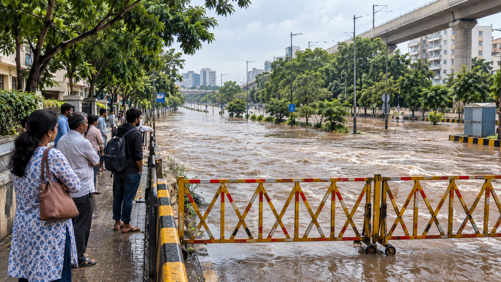
Cities are flooding too. Chennai (2021 and 2023), Bengaluru (2022) and Delhi (2023) showed that cities can be as exposed as villages when drains, lakes and riverbanks are built over.
Why flood risk is growing
- Heavier bursts of rain. More rain falls in short, intense spells that drains cannot carry.
- Building on water bodies. Lakes, wetlands and floodplains filled in for construction leave the water nowhere to go.
- Blocked drains. Plastic and garbage choke storm-water drains every monsoon.
- Old infrastructure. Dams and embankments that have not been properly maintained for years.
- Bare catchments. Without forests, soil washes off the hills and rivers rise faster.
What your family can do
- Find out whether you live in a flood-prone area. Ask your municipal office or district disaster management office, and look at past flood levels in your colony.
- Keep a three-day emergency kit: drinking water, dry food, torch, first-aid box, medicines and a charged power bank.
- Keep documents in waterproof bags and on your phone.
- Follow IMD weather warnings and CWC flood forecasts, including CWC’s Flood Watch app.
- If water starts entering the house, switch off the electricity at the main switch if you can do it while standing on a dry spot, and move to a higher floor. Stay out of basements.
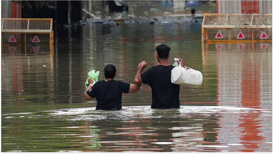
- Never walk or drive through moving floodwater. The US National Weather Service says about 15 cm of fast-moving water can knock an adult down, and about 30 cm can carry away most cars.
- Do not try to rescue someone by jumping in. Call 112, and reach out with a stick or rope or throw something that floats.
What needs to change
- Flood-resilient roads, bridges and city drainage.
- Strict zoning: no construction in riverbeds, lakes or floodplains.
- Better forecasting and warnings, with IMD and CWC working together and reaching every village.
- Trained community volunteers in every flood-prone block, like VFF India’s volunteer network.
- State flood resilience funds, spent openly.
- An up-to-date national flood map to replace the 1980 estimate.
References
- Central Water Commission, Assessment of Area Affected due to Floods in India (1986 to 2022), presentation dated 25 July 2024
- Down To Earth, “It’s been 40 years! Update India’s flood map NOW”, 29 July 2021 (Rashtriya Barh Ayog 1980 estimate)
- Central Water Commission flood forecasting site and Flood Watch app
- US National Weather Service, “Turn Around Don’t Drown”
- National Crime Records Bureau, Accidental Deaths & Suicides in India (annual)
Floods begin with rain, but how many people they hurt depends on how ready we are. Before this monsoon, pack your family’s three-day kit and put your documents in a waterproof bag.
What needs attention
- About 6% of India's land was flooded at least once between 1986 and 2022
- Uttar Pradesh, Bihar, Assam and West Bengal top the list by flood-affected area
- Flooded area does not measure deaths, people affected or today's risk
- India's official flood-prone estimate dates back to 1980 and needs updating
- Cities like Chennai, Bengaluru and Delhi now flood when drains and water bodies are built over
- No single verified national total of flood deaths and losses for 2019 to 2025 is published
Controls that reduce risk
- Check your area's flood history with the municipal or district disaster office
- Install the CWC Flood Watch app and follow IMD alerts
- Pack a three-day kit with water, food, torch, medicines and a power bank
- Store documents in waterproof bags and keep digital copies
- Raise blocked drains and encroached nalas with your ward office
- Join or support community flood preparedness volunteers
Common unsafe practices
- Assuming your area is safe because it has not flooded recently
- Ignoring IMD and CWC warnings
- Keeping valuables and documents in basements or ground-floor cupboards
- Walking or driving through moving floodwater
- Jumping in to rescue someone without training
- Touching electrical fittings while standing in water

Leave a comment