How To SurviveLife-Safety Intelligence for India
Language
Automatic translation
City safety guide

Mount Abu Fire and Emergency Safety Guide

Mount Abu is the only hill station of Rajasthan, in Sirohi district, at about 1,220 metres above sea level. This guide puts the emergency numbers and the main local risks on one page, based on the Sirohi district disaster plan.

Checked 15 Nov 2026 Incidents update automatically. Emergency card for the fridge or your phone
0incidents covered
0deaths reported
0injured reported
112Emergency 101Fire 108Ambulance 100Police
02972-225327 Sirohi District Control RoomControl room of the Sirohi district administration, which covers Mount Abu. A second line, 02972-221240, is printed for the flood room

112: National emergency number for police, fire and ambulance. Works from any phone · 101: Listed as the fire brigade number by the Rajasthan government. If 101 does not connect, call 112 · 108: Listed as the emergency services number by the Rajasthan government, with 102 as the ambulance number. If it does not connect, call 112 · 100: Police control room number. Also reachable through 112

Take these numbers with you

Print the Mount Abu emergency card for the fridge or the front door, and cut out the wallet cards. It holds 112, 101, the ambulance and police numbers, and the Mount Abu fire, disaster and civic numbers from this guide. There are blank lines for your family contacts and the nearest hospital.

Download city emergency card (PDF, A4) Print in black and white (PDF, saves ink) Save as phone picture (WebP, made for a phone lock screen)

Checked 15 November 2026. Numbers can change; re-check them before you rely on them.

Latest incidents in Mount Abu

  1. No case studies from this city yet.
Open the full Incident Map See incidents near Mount Abu on the map

Local risks in Mount Abu

Forest and hill fires

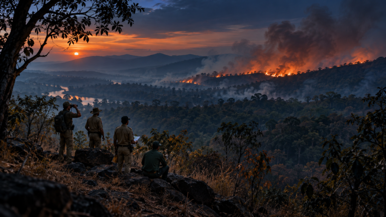
The district plan lists fire and forest fire between March and June, with forest areas and the Mount Abu hills among the exposed places. In April 2017 a forest fire near the tourist viewpoints burned for days and came close to homes, and Air Force helicopters drew water from Nakki Lake to fight it.

Very heavy monsoon rain

The plan records 48.4 cm of rain at Mount Abu in a single day on 14 August 1941, against 36.2 cm on the plains the same day. About 95 percent of the year's rain comes between June and September, with July and August the heaviest.

Lightning on the hills

The plan lists lightning from April to August in every part of the district. Open viewpoints, rocks and lake edges give no cover in a thunderstorm.

Road crashes

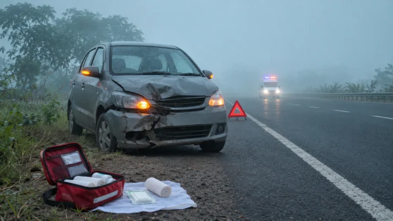
The plan lists road accidents as a risk in all parts of the district, and two national highways, 14 and 76, run through it. Visitors reach the hill station by road, so a crash is a real risk on the way up and down.

Cold nights

The plan gives Mount Abu a lowest temperature of minus 1.1 degrees and a highest of 38.3 degrees. Winter nights can be cold enough to be dangerous for elders and for anyone without proper clothing.

Stay safe: quick checklist

Choose another city

Related safety guides

Mount Abu at a glance

Population
About 23,000 people live in Mount Abu town and about 10.4 lakh in Sirohi district (Census 2011)
Height
About 1,220 metres above sea level, the only hill station of Rajasthan
Heaviest one day rain
48.4 cm at Mount Abu on 14 August 1941
Control room
The Sirohi district control room is on 02972 225327
Emergency system
Dial 112; fire is 101, ambulance 108 and police 100

More tools: emergency wallet card, extinguisher chooser