River floods after heavy rain
The district flood plan says Banswara is not usually hit by floods, but heavy rain caused flood conditions in each of the last two years. The banks and low ground along the district's rivers decide which areas flood.
 Life-Safety Intelligence for India
Banswara is a district headquarters city in the far south of Rajasthan, close to the Gujarat and Madhya Pradesh borders, about 16 km from the Mahi Bajaj Sagar dam. This guide puts the emergency numbers and the main local risks on one page, based on the district flood plan.
Checked 15 Nov 2026 Incidents update automatically. Emergency card for the fridge or your phone112: National emergency number for police, fire and ambulance. Works from any phone · 101: Listed as the fire brigade number by the Rajasthan government. If 101 does not connect, call 112 · 108: Printed as the ambulance number in the Banswara district plan and listed by the Rajasthan government. If it does not connect, call 112 · 100: Police control room number. Also reachable through 112
Print the Banswara emergency card for the fridge or the front door, and cut out the wallet cards. It holds 112, 101, the ambulance and police numbers, and the Banswara fire, disaster and civic numbers from this guide. There are blank lines for your family contacts and the nearest hospital.
Download city emergency card (PDF, A4) Print in black and white (PDF, saves ink) Save as phone picture (WebP, made for a phone lock screen)
Checked 15 November 2026. Numbers can change; re-check them before you rely on them.
The district flood plan says Banswara is not usually hit by floods, but heavy rain caused flood conditions in each of the last two years. The banks and low ground along the district's rivers decide which areas flood.
The plan says that when the Mahi dam gates are opened, or back water builds up, many villages are affected. A flood control room in the Mahi project colony tracks dam and river levels round the clock in the monsoon.
Rain comes mostly from June to September, and the district averaged about 992 mm a year over the last ten years. The plan counts 538 usable water tanks in the district, and names dam failure among the causes of flood.
The plan asks for officers to be placed in charge of preventing illness that follows heavy rain and flooding. Dirty water and standing pools are the usual cause.
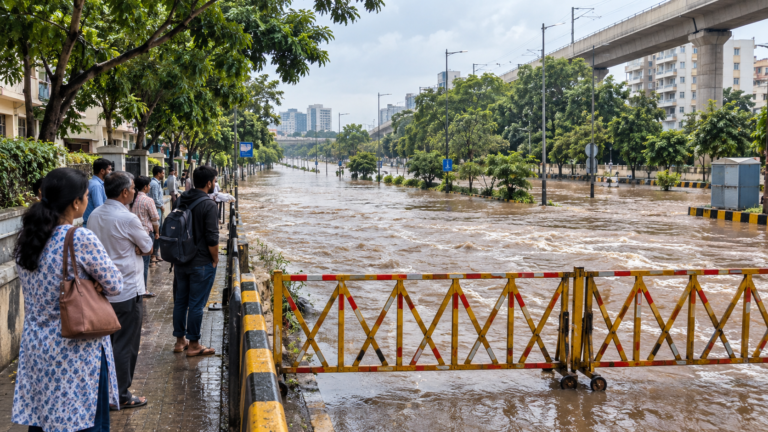 Flood Safety in India: Before, During and After a Flood
Follow local flood warnings, evacuate before routes close and avoid walking or driving through moving water. Do not…
Read more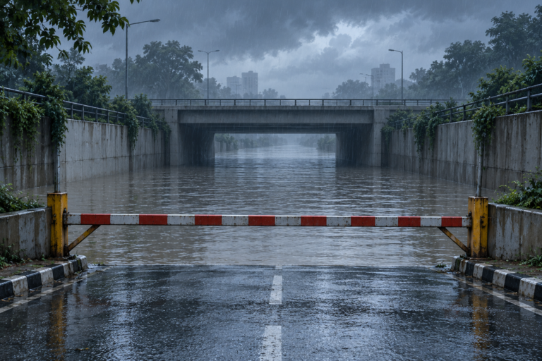 Flood Safety Myths: Cars, Shallow Water and Rescues
A road or footpath under moving water cannot be judged safe by appearance or vehicle size. Turn back…
Read more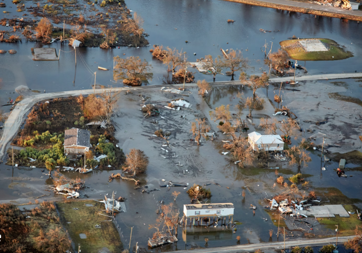 Waterborne Disease After Floods in India: Risks and Prevention
When the floodwater goes down, families rush to clean the house and get back to normal. The danger…
Read moreMore tools: emergency wallet card, extinguisher chooser