Monsoon floods
The district plan says Dungarpur is not usually hit by floods, but heavy rain caused a flood in 2006. Rivers and nalas sometimes overflow and affect a few areas.
 Life-Safety Intelligence for India
Dungarpur is a district headquarters town in south Rajasthan, in a district that borders Gujarat, with the Mahi river and its Kadana backwater on the south east side of the district. This guide puts the emergency numbers and the main local risks on one page, based on the district flood contingency plan.
Checked 15 Nov 2026 Incidents update automatically. Emergency card for the fridge or your phone112: National emergency number for police, fire and ambulance. Works from any phone · 101: Listed as the fire brigade number by the Rajasthan government. If 101 does not connect, call 112 · 108: Listed as the emergency services number by the Rajasthan government, with 102 as the ambulance number. If it does not connect, call 112 · 100: Police control room number. Also reachable through 112
Print the Dungarpur emergency card for the fridge or the front door, and cut out the wallet cards. It holds 112, 101, the ambulance and police numbers, and the Dungarpur fire, disaster and civic numbers from this guide. There are blank lines for your family contacts and the nearest hospital.
Download city emergency card (PDF, A4) Print in black and white (PDF, saves ink) Save as phone picture (WebP, made for a phone lock screen)
Checked 15 November 2026. Numbers can change; re-check them before you rely on them.
The district plan says Dungarpur is not usually hit by floods, but heavy rain caused a flood in 2006. Rivers and nalas sometimes overflow and affect a few areas.
When Mahi Bajaj Sagar in Banswara releases extra water, the Mahi rises and the Kadana backwater reaches Galiyakot in the district. The plan treats 421 feet as the danger level, when homes and property in the area are at risk and people are told to move.
The plan notes that rainwater collects in the low lying parts of towns during heavy rain. It notes that drains and nalas are cleaned before the season.
The flood plan covers the dams of the district, including the Som Kamla Amba dam, whose gate operation manual is part of the plan. The plan also lists the rain gauge stations across the district and runs a control room from mid June to the end of September.
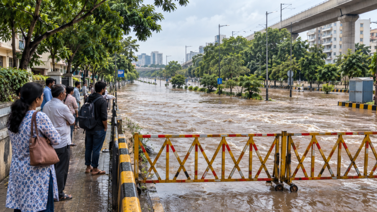 Flood Safety in India: Before, During and After a Flood
Follow local flood warnings, evacuate before routes close and avoid walking or driving through moving water. Do not…
Read more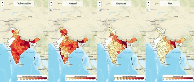 India’s Most Flood-Prone States: What the Official Data Shows
By flood-affected area, Uttar Pradesh is India’s most flood-prone state, followed by Bihar, Assam and West Bengal (CWC,…
Read more Pandals, Melas and Festival Crowds in India: How to Stay Safe in a Crowd
What to check before you enter a pandal or mela, how rain, wet floors, bamboo structures, wiring and…
Read moreMore tools: emergency wallet card, extinguisher chooser