Monsoon landslides on steep slopes
The hills around Kalimpong have steep slopes and loose topsoil, and landslides are frequent in the monsoon. Cracks in the ground, tilting poles or trees and muddy water from a spring are signs to move away early.
 Life-Safety Intelligence for India
Kalimpong is a hill town at about 1,250 m, with the Teesta river in the valley below. This guide puts the emergency numbers, the official fire station and the main local risks on one page.
Checked 15 Nov 2026 Incidents update automatically. Emergency card for the fridge or your phone112: Single emergency number for police, fire and ambulance. Works from any phone · 101: The state fire service number. If it does not connect, call 112 · 112: No ambulance number for this district was found on an opened official page, so ask for an ambulance on 112 · 100: Also reachable through 112
Print the Kalimpong emergency card for the fridge or the front door, and cut out the wallet cards. It holds 112, 101, the ambulance and police numbers, and the Kalimpong fire, disaster and civic numbers from this guide. There are blank lines for your family contacts and the nearest hospital.
Download city emergency card (PDF, A4) Print in black and white (PDF, saves ink) Save as phone picture (WebP, made for a phone lock screen)
Checked 15 November 2026. Numbers can change; re-check them before you rely on them.
The hills around Kalimpong have steep slopes and loose topsoil, and landslides are frequent in the monsoon. Cracks in the ground, tilting poles or trees and muddy water from a spring are signs to move away early.
A 2025 study of Kalimpong-I block calls the town highly sensitive to landslides because its built-up area is growing. The authors recommend limiting new building in the most sensitive zones.
Monsoon landslides often damage the roads and can cut the town off from the rest of the plains. Reports in October 2025 noted multiple landslides triggered by heavy rain in the Darjeeling and Kalimpong districts, so keep food, medicines and a torch for a few days.
On 28 December 2024 a fire that began at a scrap shop at 12 Mile, Topkhana, destroyed about six shops with attached homes. Three engines from Kalimpong fire station and Army engines took more than four hours to control it, and no one was reported hurt.
1 stations. Tap Call to ring the station office.
| Station | Area | Contact |
|---|---|---|
| Kalimpong Fire Station | Kalimpong · 9th Mile, Rishi Road, opposite Rockvale Academy | Call03552-255450 |
The station is from the West Bengal Fire and Emergency Services list opened on 15 November 2026, and no other station lies within about 10 km of the centre. In an emergency, call 112 or 101 first; station lines are office numbers.
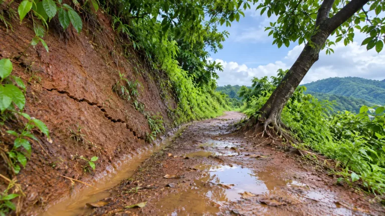 Landslide warning signs in hill hamlets after heavy rain or a cyclone, and what to do
How to read the warning signs of a landslide in a hill or forest hamlet after heavy rain…
Read more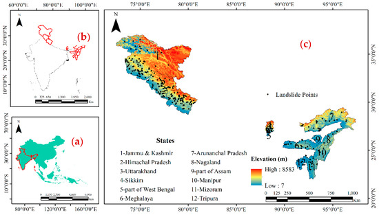 Landslide-Prone Regions: Statistics & Warning Signs (2019 to 2025)
Landslides are not rare accidents in far-off hills any more. They now hit highways, pilgrim routes, hydropower sites,…
Read more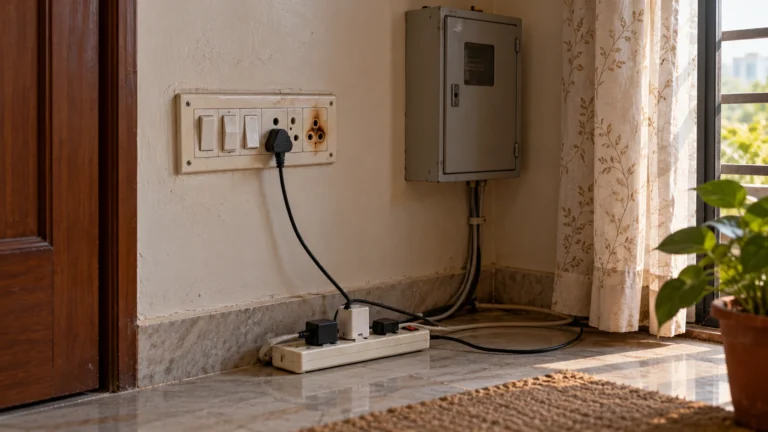 Can a short circuit cause a fire? Signs and what to do
How a short circuit starts a fire, how it differs from an overload and a loose connection, the…
Read moreMore tools: emergency wallet card, extinguisher chooser