How To SurviveLife-Safety Intelligence for India
Language
Automatic translation
City safety guide

Guwahati Fire and Emergency Safety Guide

Guwahati is the gateway to the North East, a city of hills, wetlands and the Brahmaputra where rain, road traffic and the ground itself are all hazards. This guide puts the emergency numbers, the fire control room and the main local risks on one page, with dated examples from Guwahati.

Checked 26 Oct 2026 Incidents update automatically. Emergency card for the fridge or your phone
1incidents covered
7deaths reported
5injured reported
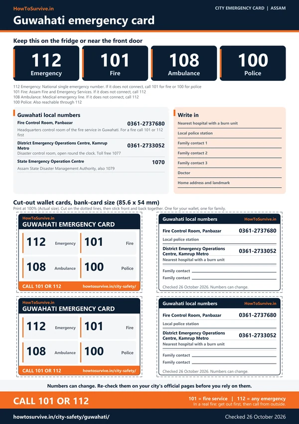
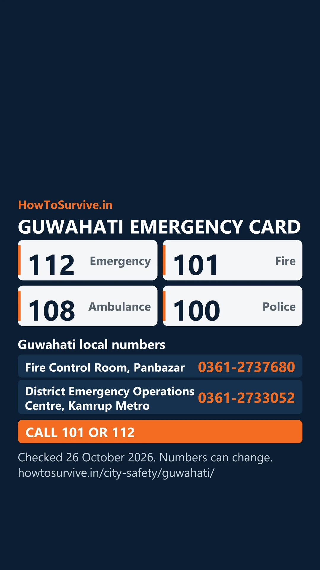
112Emergency 101Fire 108Ambulance 100Police
0361-2737680 Fire Control Room, PanbazarHeadquarters control room of the fire service in Guwahati. For a fire call 101 or 112 first 0361-2733052 District Emergency Operations Centre, Kamrup MetroDisaster control room, open round the clock. Toll free 1077 1070 State Emergency Operation CentreAssam State Disaster Management Authority, also 1079

112: National single emergency number. If it does not connect, call 101 for fire or 100 for police · 101: Assam Fire and Emergency Services. If it does not connect, call 112 · 108: Medical emergency line. If it does not connect, call 112 · 100: Also reachable through 112

Printable Guwahati emergency card: A4 sheet with national and local emergency numbers and cut-out wallet cards

Take these numbers with you

Print the Guwahati emergency card for the fridge or the front door, and cut out the wallet cards. It holds 112, 101, the ambulance and police numbers, and the Guwahati fire, disaster and civic numbers from this guide. There are blank lines for your family contacts and the nearest hospital.

Download city emergency card (PDF, A4) Print in black and white (PDF, saves ink) Save as phone picture (WebP, made for a phone lock screen)

Checked 26 October 2026. Numbers can change; re-check them before you rely on them.

Local risks in Guwahati

NH-27 collisions near Sonapur

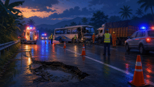
On the evening of 30 August 2026, a minibus bound for Guwahati with 14 people on board hit a goods truck head-on on NH-27 near Khetri and Sonapur. Seven deaths were reported, and the Chief Minister said poor highway maintenance contributed, though whether a pothole caused it was still being examined, as we cover in a case study.

Urban flooding and waterlogging

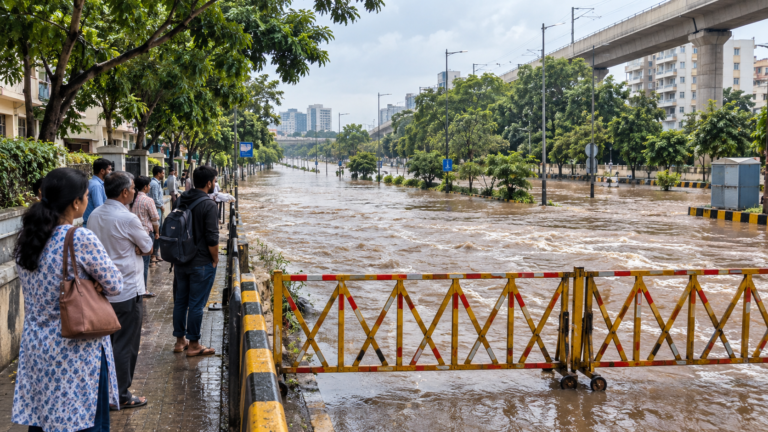
Just half an hour of rain can flood parts of Guwahati, because encroachment and concrete have cut the open land that absorbs water and drainage channels and wetlands have been changed. The airport averages 1,695 mm of rain a year, with June the wettest month.

River floods and landslides around the city

In the 2022 floods, Kamrup (Metro), the district that holds Guwahati, was among 32 Assam districts affected, with landslides there between June and September. About 5.6 million people were affected across the state.

Great earthquakes

In the great earthquake of 12 June 1897, the shaking lasted three minutes in Guwahati, the Brahmaputra rose by 7.6 feet and railway lines and the Umananda island temple were damaged. Five people died there.

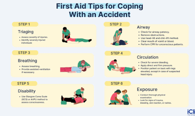
Stay safe: quick checklist

Choose another city

Related safety guides

Guwahati at a glance

City
About 9.6 lakh people (Census 2011); metropolis area about 217 sq km
Kamrup Metropolitan district
1,528 sq km; 12,60,419 people (2011)
Fire stations
No official list found; the fire control room is at Panbazar
Great earthquake
12 June 1897; shaking lasted three minutes in Guwahati
Emergency system
Dial 112; fire is 101, ambulance 108, police 100, disaster line 1077