How To SurviveLife-Safety Intelligence for India
Language
Automatic translation
City safety guide

Gadchiroli Fire and Emergency Safety Guide

Gadchiroli is the most forested district of Maharashtra, with the Wainganga, Pranhita, Godavari and Indravati rivers on its borders. This guide puts the emergency numbers and the main local risks on one page. The district prints 101 for fire but no station list, so if 101 does not connect, call 112.

Checked 15 Nov 2026 Incidents update automatically. Emergency card for the fridge or your phone
0incidents covered
0deaths reported
0injured reported
112Emergency 101Fire 108Ambulance 100Police
07132-222031 District Disaster Management CellDistrict control room at Gadchiroli, for floods, storms and other disasters 155300 Citizen Call CentreState call centre for government services. Not an emergency line, so call 112 first

112: Single emergency number for police, fire and ambulance across Maharashtra · 101: Printed on the Gadchiroli district disaster page. If it does not connect, call 112 · 108: State ambulance service. If it does not connect, call 112 · 100: Police control room, also reachable through 112

Take these numbers with you

Print the Gadchiroli emergency card for the fridge or the front door, and cut out the wallet cards. It holds 112, 101, the ambulance and police numbers, and the Gadchiroli fire, disaster and civic numbers from this guide. There are blank lines for your family contacts and the nearest hospital.

Download city emergency card (PDF, A4) Print in black and white (PDF, saves ink) Save as phone picture (WebP, made for a phone lock screen)

Checked 15 November 2026. Numbers can change; re-check them before you rely on them.

Latest incidents in Gadchiroli

  1. No case studies from this city yet.
Open the full Incident Map See incidents near Gadchiroli on the map

Local risks in Gadchiroli

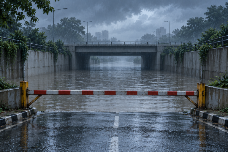
Monsoon floods that close roads

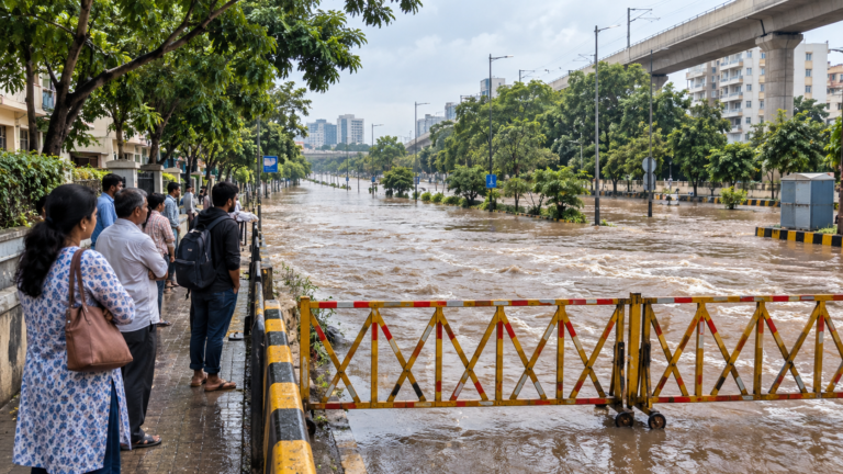
On 9 July 2025 about 20 major roads were shut and riverbank villages put on alert after heavy rain and dam releases, and two passenger buses were stranded by rising water on the Gadchiroli to Nagpur highway. In July 2023 eight major roads closed, the Aheri to Chandrapur highway went under, and more than 100 villages were cut off.
Rivers on every border and dam releases upstream

The whole district drains into the Godavari, with the Wainganga forming about 225 km of the western boundary, the Pranhita about 190 km of the south-west and the Indravati about 120 km of the south-east. When gates open at the Gosikhurd dam upstream, the Wainganga rises quickly, as it did in July 2023 and July 2025.

Forest fires

Gadchiroli forest circle recorded 2,391 forest fires in 2019 and 2,298 in 2020, which was 31 and 37 per cent of all fires in Maharashtra in those years.

Lightning in sudden storms

On 24 April 2023 a couple and their two small children were killed by lightning while sheltering under a tree on the Kurkheda to Desaiganj road during a sudden evening storm. Open ground and lone trees are the most dangerous places in a thunderstorm.

Stay safe: quick checklist

Choose another city

Related safety guides

Gadchiroli at a glance

River system
Whole district in the Godavari basin: Wainganga, Pranhita, Godavari and Indravati
Forest fires
2,391 in 2019 and 2,298 in 2020 in Gadchiroli forest circle
Latest flood
On 26 September 2026 the Perl Kota river flooded the old bridge at Bhamragarh
Fire stations
None listed for the district; fire is 101
Emergency system
Dial 112; fire is 101, ambulance 108 and police 100. District control room 07132-222031

More tools: emergency wallet card, extinguisher chooser