How To SurviveLife-Safety Intelligence for India
Language
Automatic translation
City safety guide

Sirohi Fire and Emergency Safety Guide

Sirohi is a district headquarters town in south west Rajasthan, near the Aravalli hills and Mount Abu, close to the Gujarat border. This guide puts the emergency numbers and the main local risks on one page, based on the district disaster plan.

Checked 15 Nov 2026 Incidents update automatically. Emergency card for the fridge or your phone
0incidents covered
0deaths reported
0injured reported
112Emergency 101Fire 108Ambulance 100Police
02972-225327 District Control RoomControl room in the Collectorate. It is also the flood control room from 15 June to 30 September

112: National emergency number for police, fire and ambulance. Works from any phone · 101: Listed as the fire brigade number by the Rajasthan government. If 101 does not connect, call 112 · 108: Listed as the emergency services number by the Rajasthan government, with 102 as the ambulance number. If it does not connect, call 112 · 100: Police control room number. Also reachable through 112

Take these numbers with you

Print the Sirohi emergency card for the fridge or the front door, and cut out the wallet cards. It holds 112, 101, the ambulance and police numbers, and the Sirohi fire, disaster and civic numbers from this guide. There are blank lines for your family contacts and the nearest hospital.

Download city emergency card (PDF, A4) Print in black and white (PDF, saves ink) Save as phone picture (WebP, made for a phone lock screen)

Checked 15 November 2026. Numbers can change; re-check them before you rely on them.

Latest incidents in Sirohi

  1. No case studies from this city yet.
Open the full Incident Map See incidents near Sirohi on the map

Local risks in Sirohi

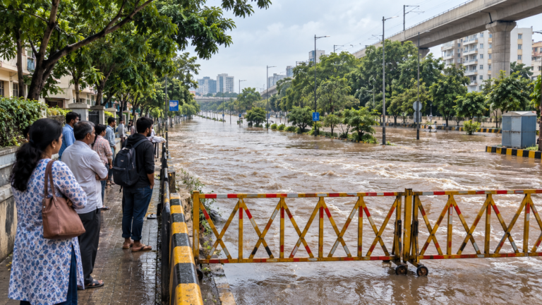
Heavy rain and river floods

The plan lists flood among the main disasters of Sirohi district, where the West Banas, Sukli and Khari rivers flow and 58 dams and tanks hold water. About 95 percent of the rain falls from June to September, and the plan records 36 cm of rain in one day in the plains in 1941, with 48 cm at Mount Abu the same day.
Forest fire

The plan puts forest fire first among the main natural and man made disasters of the district, which has hills in the east and the Mount Abu range. It says natural disasters cannot be avoided but their effects can be reduced by acting in time.

Pandal, shop and godown fires

The plan names petrol pumps, factories, godowns, underground gas pipelines, shops and cinema halls as places where a fire can start. It warns that wedding pandals, where food is cooked on gas or wood stoves, are a special risk, and recalls the Dabwali pandal fire as a lesson.

Cement and other factories

The plan sets up a district crisis group for hazardous industries and lists fire vehicles kept at cement and other factories in Pindwara and Abu Road. Chemical and industrial accidents are among the hazards it asks departments to plan for.

Summer heat

The plan says May is the hottest month, with a day maximum of about 40 degrees on average and up to 47 on some days. Mount Abu stays milder, with a highest of about 38 degrees.

Fire stations in Sirohi

1 stations. Tap Call to ring the station office.

StationAreaContact
Sirohi Nagar Parishad Fire VehiclesSirohi · Nagar ParishadCall 101

The district plan lists two fire vehicles with the Sirohi Nagar Parishad and gives no address or station line. In an emergency, call 112 or 101 first; station lines are office numbers.

Stay safe: quick checklist

Choose another city

Related safety guides

Sirohi at a glance

Population
About 10.4 lakh people live in Sirohi district and about 39,000 in Sirohi town (Census 2011)
Area
The district covers about 5,136 square km
Fire vehicles in the town
Two, with the Sirohi Nagar Parishad, and one more at Sheoganj, a nearby town
Rain
Average rainfall is about 60 cm a year, nearly all of it between June and September
Emergency system
Dial 112; fire is 101, ambulance 108 and police 100

More tools: emergency wallet card, extinguisher chooser